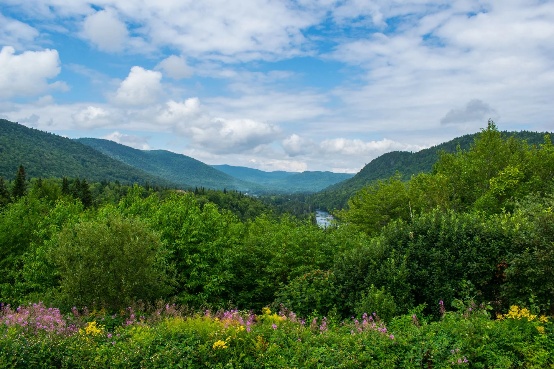
The Berkshires are known first for their cultural institutions, and that reputation slightly obscures the obvious fact that the county is mostly forest and hill. Roughly a fifth of Berkshire County is in public conservation of some kind, and a visitor who came only for Tanglewood and the museums has seen a small part of it.
The outdoor offer here is broad rather than dramatic. There is no wilderness and no serious altitude. What there is instead is a dense, accessible network of trails, water and public land, most of it within twenty minutes of somewhere to eat.
The public land network
The backbone is the state forest system. Several substantial forests sit within the county, and between them they hold most of the trail mileage, the camping and the quieter water.
They are managed for recreation rather than for scenery, which has two consequences. Access is generally free or cheap, and facilities are basic. Waymarking is adequate rather than generous, and a path that is obvious in June can vanish under leaf litter in late October.
Alongside the state forests, private conservation organisations hold a considerable amount of land in the county and open most of it. These properties tend to be smaller, better signposted and better mapped, which makes them the easier option for a first visit or for a family.
Mount Greylock, the highest ground in Massachusetts, sits in its own reservation in the north of the county. It is the one piece of Berkshire terrain that behaves like a mountain — its own weather, a genuine summit, and a road to the top that makes one-way walks easy to arrange. Details are on hiking.
The four seasons, honestly
Spring is the least attractive season and the best for water. The rivers are high, the trout are stocked, and the woods are open before leaf-out. It is also mud season, which is not a figure of speech — trails are genuinely damaged by walking them too early, and the higher paths stay wet into May.
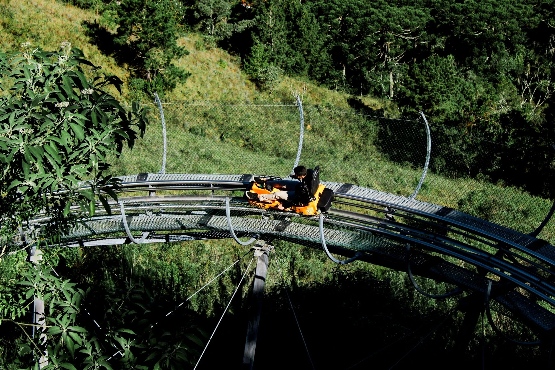
Summer is busy, humid and thundery in the afternoons. It is the season for the lakes, for lift-served riding and for the ski hills' warm-weather operation. It is also when the county's population effectively doubles, so anything popular needs an early start.
Autumn is the best of it and everybody knows, which is the problem. September is quieter than October and nearly as good. The foliage peaks somewhere in the first half of October and moves earlier at elevation, so a high walk can be past peak while the valley is still green.
Winter brings the ski hills, which is the county's largest single outdoor draw, along with snowshoeing and cross-country skiing on the same forest network that carries walkers the rest of the year. Ice fishing runs on the ponds. The ski season and its operating pattern is covered separately.
Choosing on a short visit
Most visitors have a weekend, and the honest advice is to pick one thing rather than sample four.
For a first visit with mixed company, a walk on a ski hill in summer or a marked reservation trail gives a definite objective and a known distance. The alternative — an ambitious state forest route with a group of unknown fitness — is how afternoons go wrong.
For anyone who came to fish or paddle, the water rewards a whole day rather than a morning, and the rivers and lakes are spread widely enough that moving between them eats the time.
For riders, lift-served descent is a full day in itself and needs its own equipment and protection — see mountain biking.
For families, the rail trails and the ski areas' summer attractions carry a much wider age range than anything requiring fitness. Those are covered on family fun and summer.
Practical notes that apply everywhere
Phone coverage is patchy across much of the county, including on well-used trails. A map that works without a signal is worth carrying, and telling somebody the plan matters more here than it would closer to a city.
Ticks are the real hazard, not the wildlife. Lyme disease is established here and the precautions are simple — covered, with the rest of what lives in these hills, on wildlife.
Weather at elevation differs sharply from the valley. Fifteen hundred feet of climb changes the temperature and the wind more than the map suggests, and Greylock makes its own conditions.
Bring more water than the distance implies, particularly on ski-slope walks, which are steep and unshaded.
Parking fills at the popular access points by mid-morning on summer and autumn weekends. An early start solves it; nothing else does.
For the days when the weather removes all of this, the county's indoor alternatives are unusually good — see cultural attractions and more things to do.